Accurate, consistent, and standards-aligned hydrography data—built by the team that helped set the national standard.
Elevation-Derived Hydrography - The Future Of Water Resource Management
Accurate hydrography data is no longer a luxury; it’s a necessity. In the face of climate change, infrastructure stress, and water resource challenges, decision-makers need reliable data. Elevation-derived Hydrography (EDH), powered by lidar or radar, offers a high-resolution, highly accurate method for mapping water flow and surface hydrology.
NV5 is a trusted partner to state and federal agencies, empowering better decisions with lidar-based hydrography aligned with the 3D National Hydrography Program (3DHP) standards and designed to support various hydrographic analyses throughout diverse landscapes.
Thermal Infrared Bridge Assessments
Detect hidden structural issues with our thermal infrared technology, identifying moisture infiltration, delamination, and insulation failures without costly closures. Our non-invasive assessments ensure safer, longer-lasting bridges.
Top 5 Benefits of Elevation-Derived Hydrography
- Greater detail and improved accuracy lead to better decisions
- Consistent datasets across jurisdictional boundaries
- Alignment with national standards
- Improved infrastructure planning
- Definitive dataset for agencies leading to reduced long-term costs
.png?width=950&height=642&name=NV5geospatial-EDH-web-circle-header%20(1).png)
The NV5 3DHP Experience
Built for Accuracy. Refined for the Real World:
Creating high-resolution Elevation Derived Hydrography (EDH) networks requires more than just data—it requires experience, innovation, and precision. NV5 has developed a proprietary approach that combines advanced modeling techniques, collaborative processes for capturing local knowledge, and tried and tested quality assurance tools to deliver high accuracy hydrography datasets.
Multi-Environment Process:
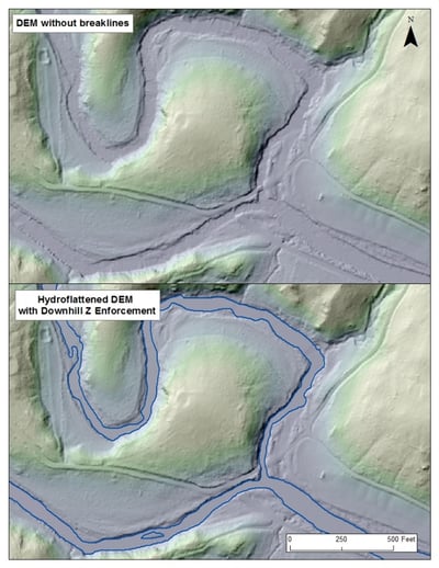
We integrate multiple methods to develop highly accurate flowlines and hydrologic networks including terrain analysis, flow modeling, and direct channel detection. This process means we can adapt to regional and landscape variability, ensuring results reflect real-world hydrology.
Collaboration with Local Experts:
We work closely with stakeholders and regional experts to refine key parameters for stream initiation, attribution, and validation to ensure that every dataset is accurate, usable and tailored to the area’s unique hydrologic characteristics while still conforming to national standards.
Advanced Analytical Methods:
We combine two powerful techniques for unparalleled precision:
- Flow accumulation modeling to simulate how water moves across the terrain
- Geomorphic analysis to detect natural landscape features that indicate water flow
Our Proprietary Tools & Client-Centric Approach Enable
Artificial Flow Paths:
We create synthetic flow paths through large rivers and water bodies, ensuring network continuity across complex hydro features.
Network Integration:
Our tools link flowlines, culverts, and pipes into a single, topographically consistent network with accurate flow direction and elevation. Where we can link the overland flow to subsurface flow.
Client Customization:
- Working with clients we transfer key attributes from legacy systems into the new database
- Update watershed boundary delineations and create reach scale catchments that can be aggregated to any scale
- Create bankfull polygons to characterize the valley bottom
- Integrate with National Wetland Inventory wetland polygons
- Set client required thresholds for specific features while maintaining a consistent nation-wide standard
- Support and develop systems for update of the enterprise database
We Helped Set The Standard - And We Keep Raising The Bar
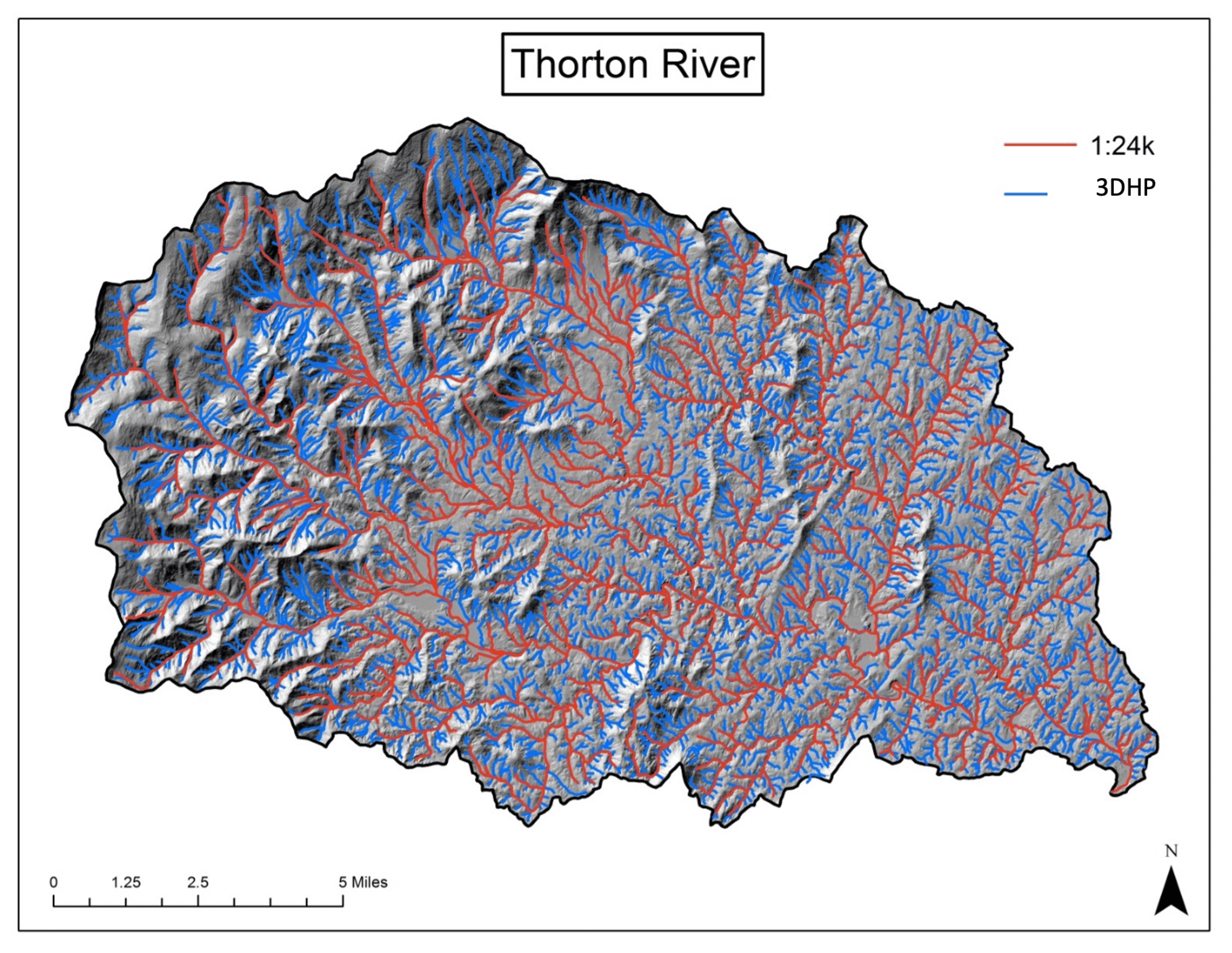
As a technical partner to the USGS and a pioneer in EDH, NV5 has helped define the workflows and standards that serve as the foundation for building the 3DHP. We’ve completed or are working over 35 individual EDH projects nationwide covering over 325,000 square miles. Some examples are shown below :
- Washington, DC EDH Project (270 sq. mi.)
- Alaska EDH from IfSAR including watershed Boundary updates (16,800 sq. mi.)
- State of Michigan (57,402 sq. mi.)
- State of Pennsylvania (19,125 sq. mi.)
Click the link below to access our 3DHP Project Portfolio interactive map page (updated regularly). Here, you can learn about the variety of 3DHP programs NV5 has completed nationwide.
.png)
Thermal Infrared Bridge Assessments
Bridge deterioration can lead to costly repairs and safety hazards. NV5’s Thermal Infrared Bridge Assessments provide a non-invasive, highly accurate method for detecting structural issues before they become critical. Using advanced infrared imaging, we identify hidden defects such as moisture infiltration, delamination, and insulation failures—without requiring lane closures or disruptive testing methods. For one project, NV5 collected data from over 41 bridges in a single afternoon using a fixed-wing platform.
Key Benefits:
-
Early detection of subsurface bridge defects
-
Non-contact, rapid assessment with minimal traffic disruption
-
Supports proactive maintenance planning and cost savings
New To 3DHP? What you need to know about Elevation-Derived Hydrography
What is elevation-derived hydrography?
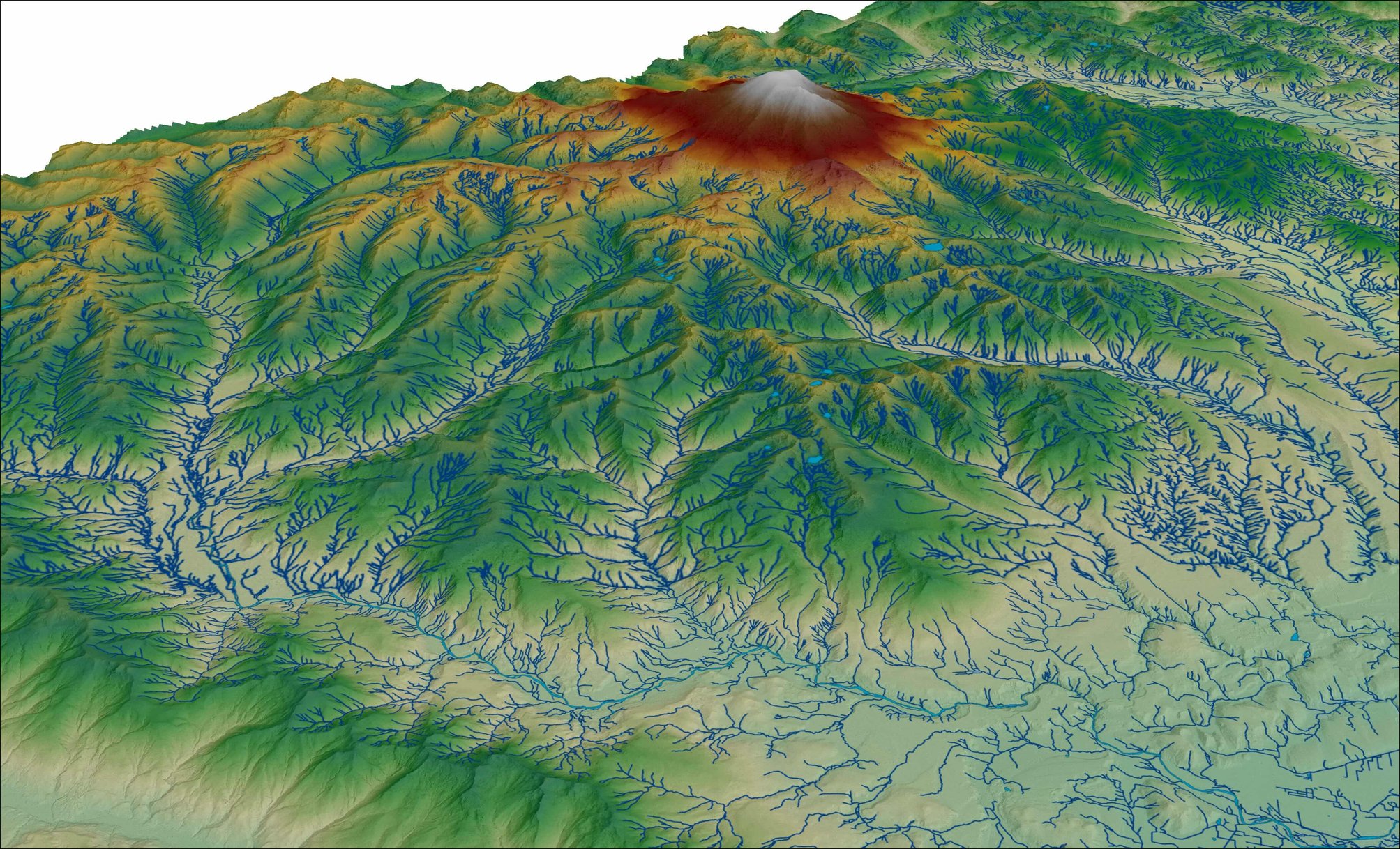
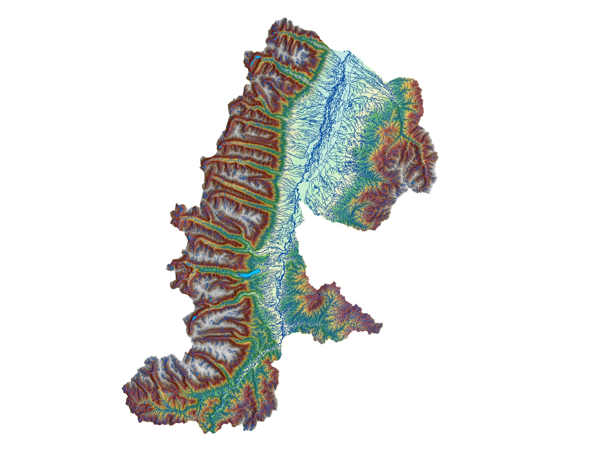
Elevation-derived hydrography (EDH) is the process of mapping rivers, streams, and water flow networks using high-resolution elevation data—typically lidar or radar. In contrast to conventional approaches, EDH uses the shape of the land to model how water actually moves across the surface, resulting in more consistent, accurate, and up-to-date hydrographic datasets.
Why lidar-derived flowlines are more accurate
Lidar data captures the earth’s surface in extremely fine detail. This allows for more accurate detection of stream initiation points, flow direction, and connectivity—even in flat or vegetated terrain. As a result, flowlines generated from lidar tend to outperform older, manual datasets in terms of accuracy and hydrologic realism.
What to expect from the USGS 3DHP program
The USGS 3D Hydrography Program (3DHP) is part of a national effort to improve water data infrastructure across the country. It supports states and localities by co-funding elevation data collection and providing a framework to build standardized, high-resolution hydrography networks. Participating in the program not only provides access to funding but ensures your data is ingested into the national database.
Comprehensive Transportation Asset Management
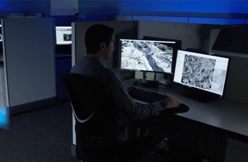
Effective infrastructure management requires a data-driven approach. NV5’s MERGE program integrates lidar, thermal, and satellite imagery into a centralized platform, enabling clients to efficiently monitor and maintain assets. Our cloud-based GIS tools support predictive maintenance, long-term planning, and budget optimization.
Features:
-
Cloud-based GIS integration for real-time asset tracking
-
Predictive analytics to prioritize maintenance needs
-
Seamless data fusion from multiple imaging technologies
-
Digitally twin assets for real-time insights and optimization
How To Secure Funding And
Choose The Right Partner
Securing a USGS 3DHP Data Collaboration Agreement (DCA) can significantly reduce costs—but the application process can be complex. NV5 has helped clients across the U.S. navigate the DCA process and strengthen their proposals. As the firm that helped shape the EDH standard, we know how to balance local requirements with USGS guidelines—delivering accurate, standards-aligned results from day one.
