
Improve Your Data Acquisition with Our Latest Sensor Technology
Introducing the revolutionary CoastalMapper, a next-generation airborne bathymetric lidar system.
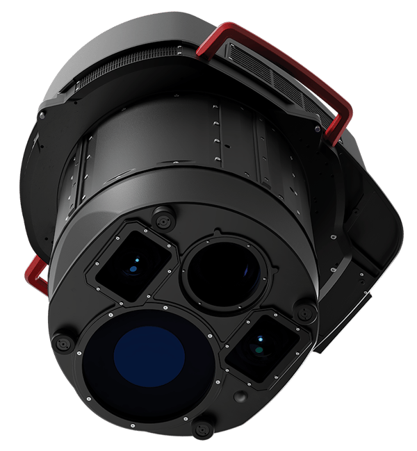
The CoastalMapper combines high-performance bathymetric lidar with the Leica TerrainMapper-3 topographic lidar and imaging sensor to simultaneous capture bathymetric and topographic lidar data, along with high-resolution imagery, in a single flight.
Only a handful of firms in the World share topobathymetric capabilities at any level, much less have our mastery of the science. NV5 has lead our peers in acquisition capabilities with cutting-edge sensors and world-class experts to manage the challenging data processing and develop informed answers that our clients demand.
A New Standard for Airborne Coastal Mapping Performance
Its flexible, lightweight design allows it to be mounted on both fixed-wing aircraft and helicopters, making it highly versatile for surveying challenging environments, from shallow coastal zones to steep mountainous river terrain.
-
Capture one million bathymetric and two million topographic points per second
-
Cover 360 km² per hour with RGB imaging at 5 cm GSD and NIR at 7 cm GSD