Enhance Your Understanding Of Your Infrastructure's Lifecycle.
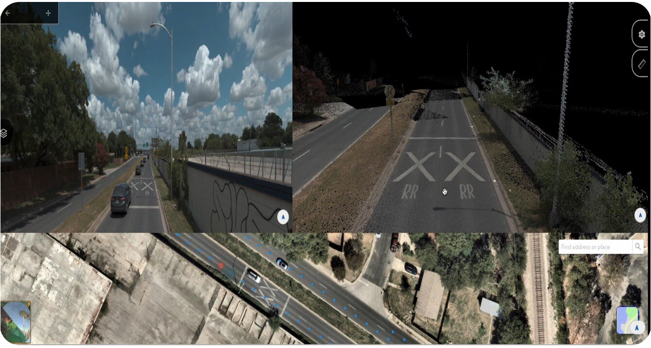
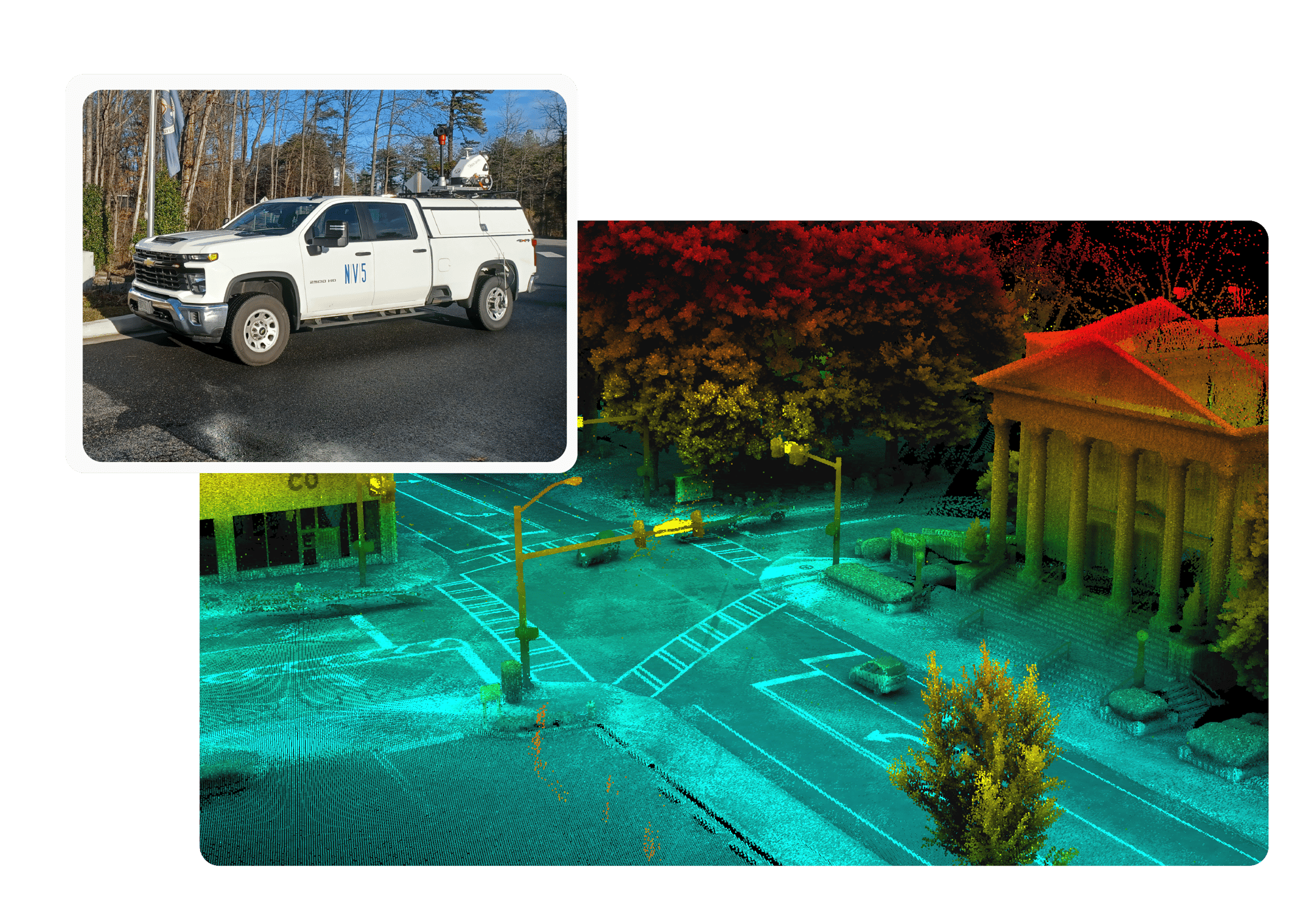
NV5's mobile lidar captures ultra-precise 3D data of roads, railways, bridges, and other transportation infrastructure, so you can manage their entire lifecycle.
From Data to Decisions
- Detailed, High-Resolution Data - Clean, dense, and ready for analysis
- Client Owned Data - Data that can be repurposed for years, magnifying the return on investment
- Built-in Value - Our geospatial experts assist you in transforming your data in actional insights
Clarity You Can Build On
Lidar isn't just about collecting points - it's about collecting the right ones. Our datasets are dense, consistent, and built for action, giving you a clean foundation to plan, analyze, and move forward with confidence.

Make the Most of Every Scan
High-quality lidar datasets can be repurposed as future needs arise or as budgets become available, significantly increasing your return on investment.
Built for Real-World Demands
Whether you're managing roadways, maintaining bridges, or planning infrastructure improvements, our mobile lidar delivers the accuracy, coverage, and clarity you need to make confident decisions.

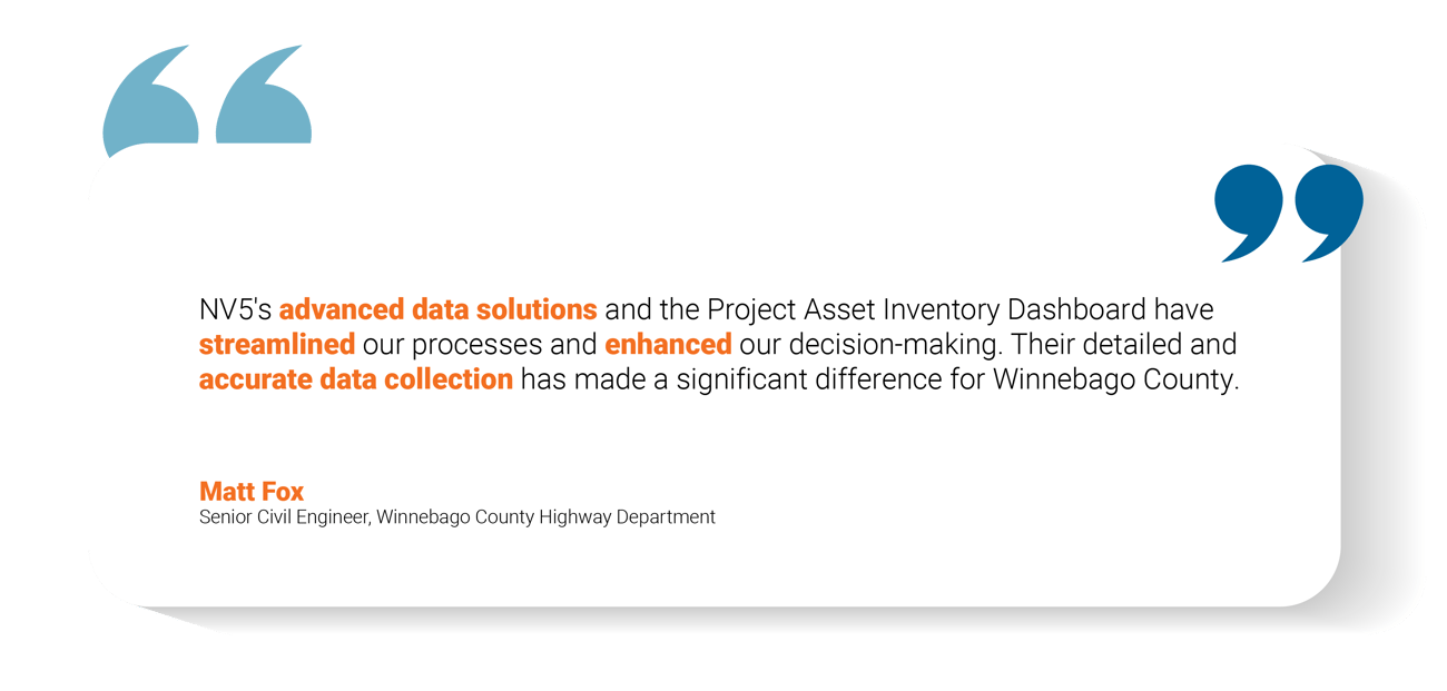
Hear From Our Clients

Let's Get to the Point
Ready to put your data to work? Let's talk about how our mobile lidar solutions can support your next project.
