NV5's Geospatial Distribution Solutions
NV5 Geospatial’s remote sensing data analysis improves efficiency, reduces risk, and maximizes reliability of your distribution network.
~ 40,000 distribution miles analyzed in 2021

Expertise in Asset Management
Joint Use
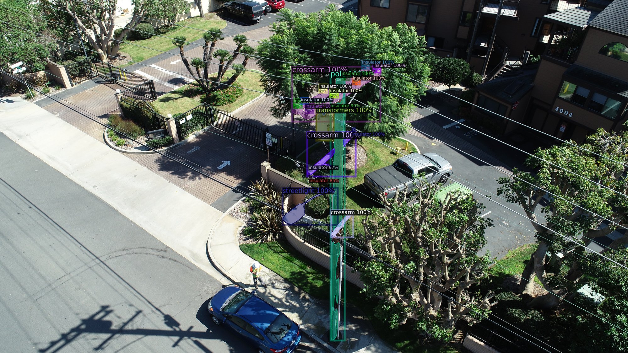
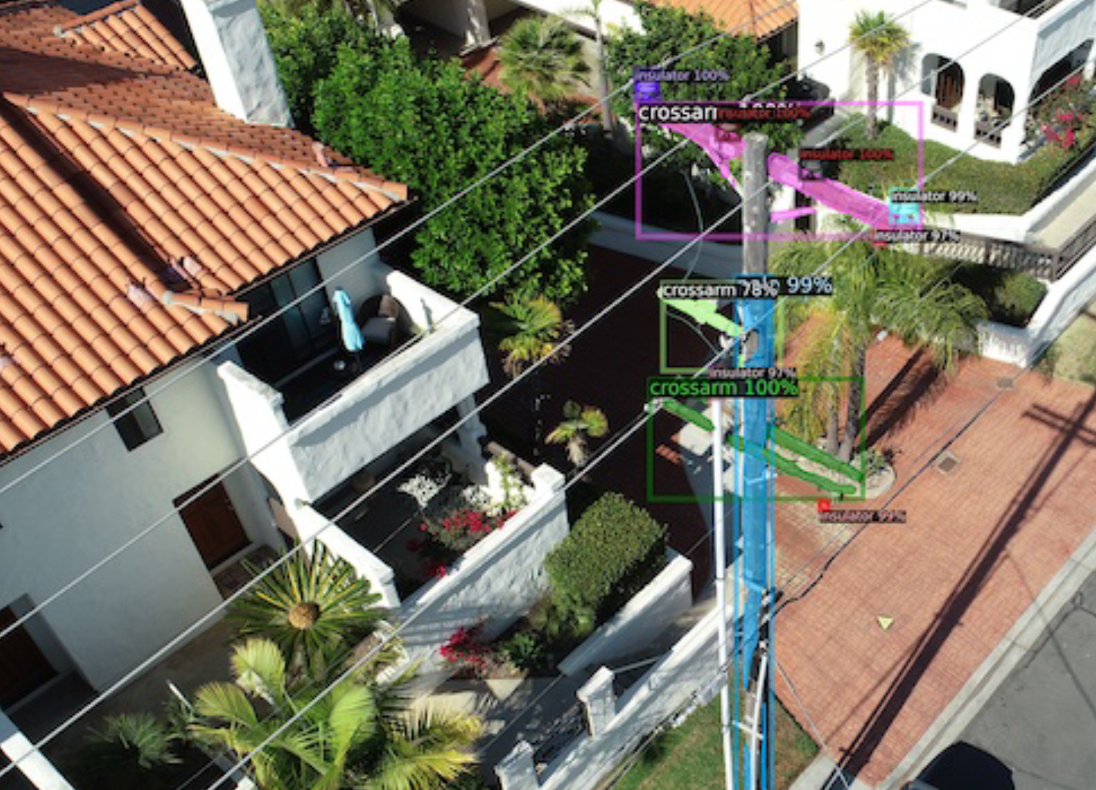
We utilize geospatial data to generate a comprehensive inventory of utility pole assets and determine pole capacity.
NESC
We assess your network for risk and identify specific measurements on poles to maintain regulatory compliance.
Pole Loading
We ensure safe load conditions through the integration of remote sensing data with pole loading software.
Reduce Risk, Improve Efficiency, and Maximize Reliability with Geospatial Analysis
Remote sensing improves accuracy, reduces turnaround time on new data acquisition, and provides opportunities for business growth. NV5 Geospatial is the best in the business with remote sensing data and data analysis.
Harness the Power of Geospatial Analysis to Manage, Maintain, and Monitor Your Distribution Network
Harness the Power of Geospatial Analysis to Manage, Maintain, and Monitor Your Distribution Network
Comprehensive Services
Comprehensive Services
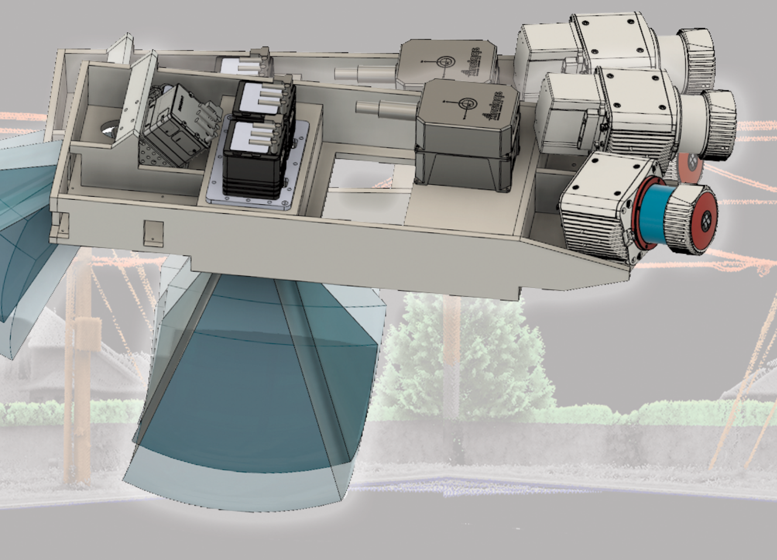
Our end-to-end capabilities extend from acquiring accurate, high-quality geospatial data to analyzing and visualizing that data using custom viewers and enterprise GIS. We’ve worked closely with our clients to develop unique solutions across the life cycle of a distribution vegetation management to engineering as-builts for maintenance and asset data management.

Powerful Analytics
Powerful Analytics
Our expertise is answering the questions that matter most to utilities. We’ll tell you:
- What is the optimal layout of a new distribution network?
- Where are your poles, whether they comply with regulations, and if they’re in good condition?
- What’s on each pole, which poles have extra capacity, and which poles are over capacity?
- Which trees are too close to the lines?
- How you should prioritize maintenance?
The insights we provide help utilities plan for growth, streamline operations, mitigate risk, and maintain compliance.

Innovative Applications
Innovative Applications
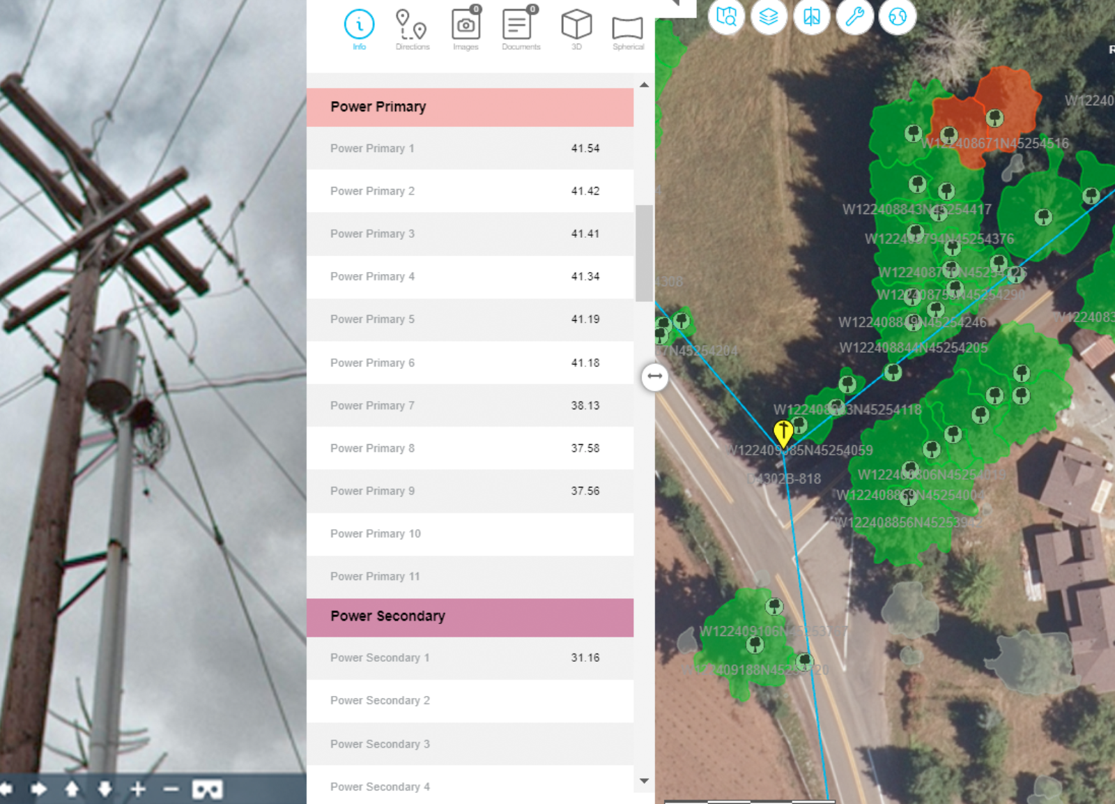
Our cutting-edge web and mobile applications like INSITE help utilities turn geospatial data into better business outcomes. Using our visualization and decision support tools, managers from multiple departments can readily access and act on geospatial information. We also have extensive experience managing, integrating, and developing GIS systems.

Use INSITE to Maximize Efficiency and Accuracy of Your Data
INSITE delivers cloud-based solutions to streamline your data. Access and visualize your records, inspect infrastructure, and manage workflow across your entire network.
Use INSITE to Maximize Efficiency and Accuracy of Your Data
INSITE delivers cloud-based solutions to streamline your data. Access and visualize your records, inspect infrastructure, and manage workflow across your entire network.
Why NV5 Geospatial?
Experience
Over a decade of utility industry experience ~40,000 distribution line miles analyzed in 2021 alone
Expertise
Comprehensive knowledge in utility industry standards and geospatial analysis
Delivery Speed
Expedient turnaround with cloud-based delivery options.
Processing Power
Robust capacity to complete massive project areas.
Innovation
Providing leading proprietary solutions, procedures, and standards to achieve your goals
Value
Tangible benefits, enhanced via bundling solution.

