
Own the Lakebed.
Master the Mission.
Precision Mapping for the Great Lakes and Beyond
Advancing Hydrography In The Great Lakes
In this webinar, you’ll discover how our latest hydrographic survey innovations—developed and refined across multiple years of Great Lakes operations—can support your infrastructure, energy, and environmental initiatives.
You'll learn about:
-
Survey efficiencies that cut timelines without compromising quality
-
Integration of hydrographic, terrestrial, and topobathymetric lidar data
-
Real-world applications that power better planning and decision-making
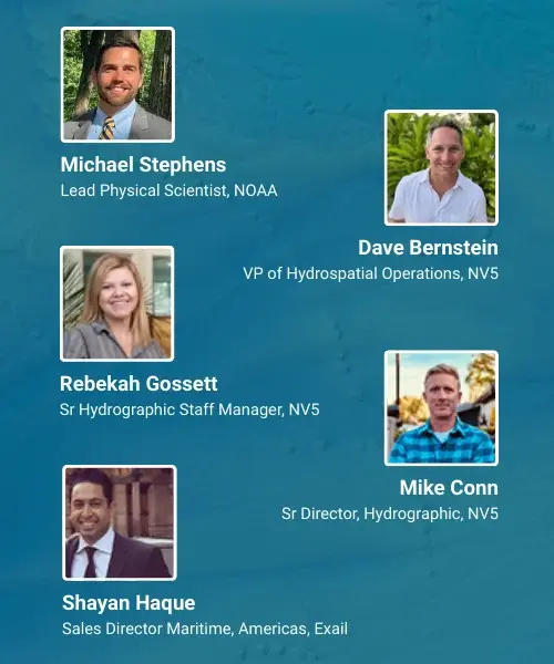
- Speakers -
Why NV5
Purpose-Built for Great Lakes and Coastal Conditions
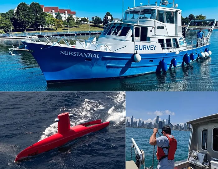
Our vessels, workflows, and technology are tailored to the unique challenges of shallow waters, dynamic morphology , and unpredictable weather patterns.
Actionable Intelligence, Not Just Data
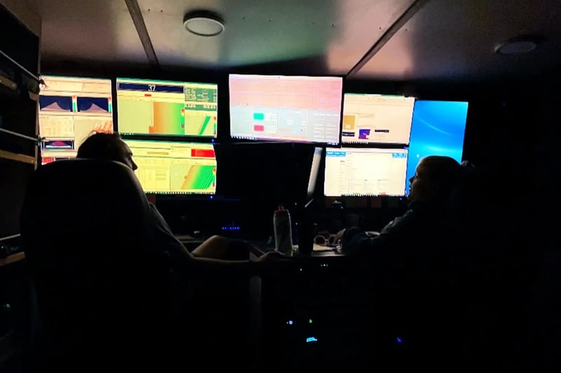
We integrate acquisition, analysis, and delivery, using real-time tools like SIMS for transparency and QA/QC.
Proven Partnerships
We are trusted to deliver results across federal, state, and commercial projects for organizations like NOAA, USACE, BOEM, and Private Sector Clients.
Aerial and Topobathymetric Lidar
Multibeam and Sidescan Sonar
Sub-bottom Profiling and Magnetometry
Crew-operated Vessels and Autonomous Survey
Real-time Project Management via SIMS
GIS-based Reporting & Visualization Tools
Some of Our Work
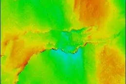
Southern Lake Michigan Survey (NOAA)
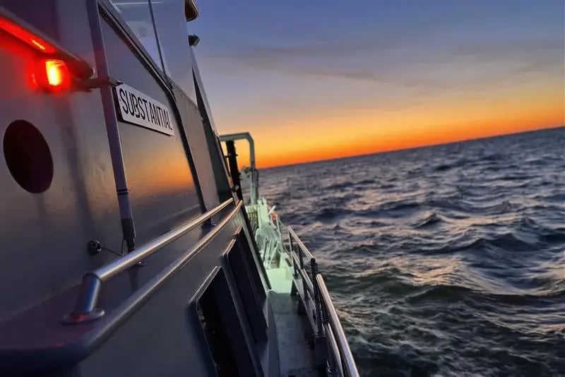
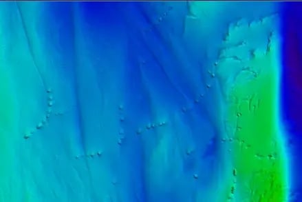
Deployed across nearshore and offshore zones, our two-vessel operation leveraged real-time QA/QC via SIMS and onboard Starlink to identify new navigational hazards and enhance NOAA's nautical charts, supporting safer transit and long-term infrastructure planning.
Southern Lake Michigan Survey (NOAA)
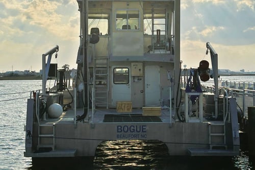
Deployed across nearshore and offshore zones, our two-vessel operation leveraged real-time QA/QC via SIMS and onboard Starlink to identify new navigational hazards and enhance NOAA's nautical charts, supporting safer transit and long-term infrastructure planning.