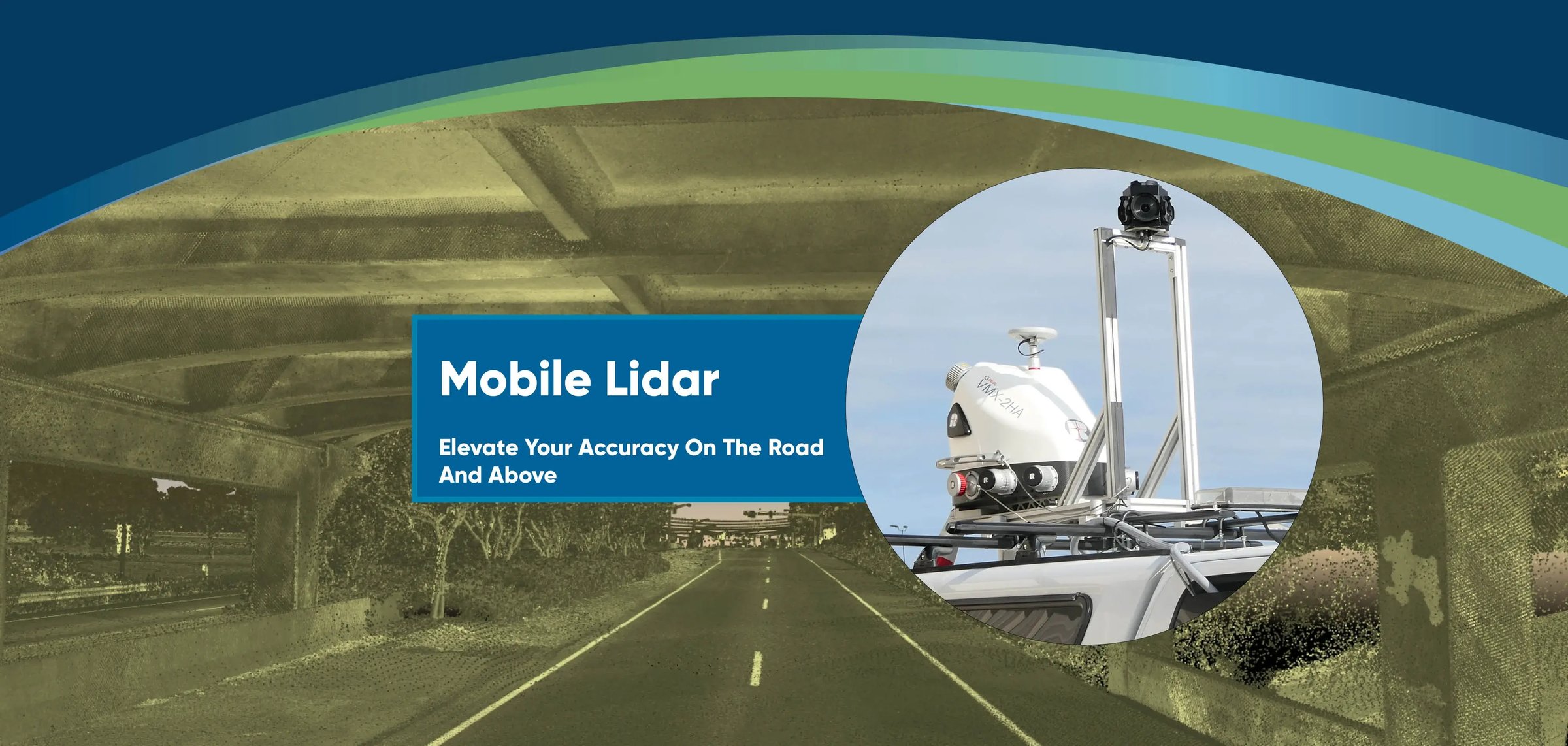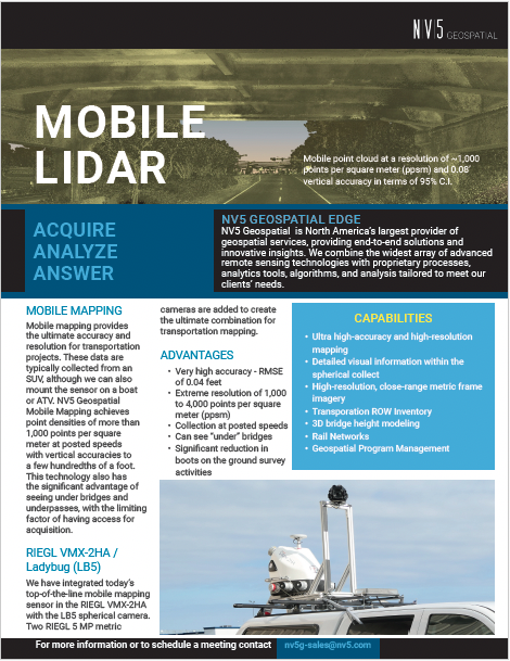
Mobile mapping provides the ultimate in accuracy and resolution for transportation projects.
These data are typically collected from an SUV, although we can also mount the sensor on a boat or ATV. NV5 Mobile Mapping can generally achieve point densities of more than 1,000 points per square meter at posted speeds and can achieve vertical accuracies of a few hundredths of a foot. This technology also has the significant advantage of seeing under bridges and underpasses.
Transportation Row Inventory • High density point cloud collection (2k-3k ppsm) • Reduces on-ground field personnel in ROW • 3D bridge height modeling • Works on rail networks • Managed Services • Geospatial Program Management

