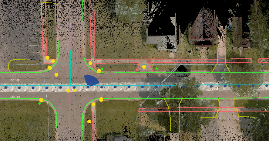
NV5's physical asset inventory for transportation and infrastructure using remote sensing techniques enhances infrastructure management, improves safety, and supports planning and decision-making. We apply the latest in imaging technologies and image processing, including lidar, aerial photography, thermal, satellite, and photogrammetry, to help clients track the conditions of roads, bridges, signage, and other infrastructure. Our second-to-none accuracy is sufficient for maintenance planning, emergency response, and planning and design. Our GIS platforms allow for seamless data integration.


